Maps and Software. Creating a Location:
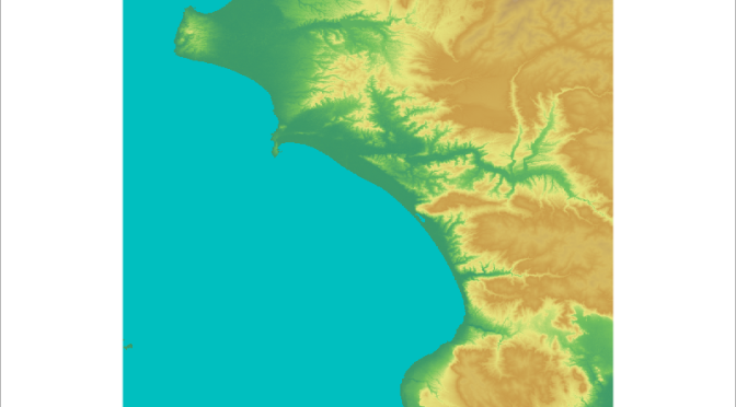
Despite what you might think, the first thing you need to start working with maps is not a computer, a GIS program or some GeoTiffs. The first thing you need is a research question. If you do not have this, the rest is worthless, because your research question is going to condition what kind of analysis you will carry out and how. So, before starting with these lessons I would suggest you to think about your research area and what would you like to know about it. You can be interested on exploring which areas are under the visual control of your site, or the most efficient route between a workshop area and the place where raw material were collected. Every example in these posts can be tried with any map, but if you do not have any specific research area or just want to give GIS a try you can use the maps of the area of Korinth that I will use as an example.
The software I am going to use is GRASS. This is an open source program supported by a community of developers around the world, which include some of the big names in Landscape analysis such as Michael Barton, from Arizona State University. You can download it for free here. Everybody has his/her favourite program, and usually causes intense debates around beers on which is better and why the rest are useless. GRASS is my favourite one for two reasons: first, it is one of the most reliable GIS programs and it is constantly updated by a community of developers. Secondly, it is completely free. Many other programs are very expensive and they do not offer, in my opinion, any analytical advantage over GRASS. It is true that it is perhaps less user-friendly than other programs, but you will see that once you get used to it, GRASS is very straightforward.
Continue reading Introduction to GIS (II): →